• Home
  • >
  • Archive, Local & Family History
  • >
  • Local & Family History
 
Local & Family History
  • Local History Hubs
  • Family History Resources
  • Books and Pamphlets
  • Newspapers
  • Maps
  • Photographs and Postcards
  • Special Collections
  • Home
  • What’s On
  • News
  • Museums & Galleries
    • Introduction
    • Perth Museum
    • Perth Art Gallery
    • Museum Collections
  • Library Services
    • Introduction
    • Your Library Account
    • Library Catalogue
    • Joining
    • Local Libraries
    • Mobile Libraries
    • Bookbug
    • Digital E-Library
    • More than a Library
  • Archive, Local & Family History
    • Perth & Kinross Archive
    • Local & Family History Service
    • Education and Outreach
  • City of Craft
    • City of Craft
    • What is 
a UNESCO Creative City?
    • Community
Assets
  • Learn
    • Introduction
    • Learning for All
    • School visits
    • Group visits
    • Families
  • About Us
    • About
    • Partners
    • Customer Charter
    • Careers
    • Volunteer
    • Venue Hire
    • Get Involved
  • Donate
  • Contact

Maps

We hold around 3,000 maps and plans of Perth & Kinross, dating from the eighteenth to twenty-first centuries. These include Ordnance Survey maps of various dates and scale, historic county maps, road, railway and estate maps, town plans, and archaeological, geological and soil survey maps.
You will find further information below and staff will help you find material of interest when you visit.
Culture Perth & Kinross - Maps

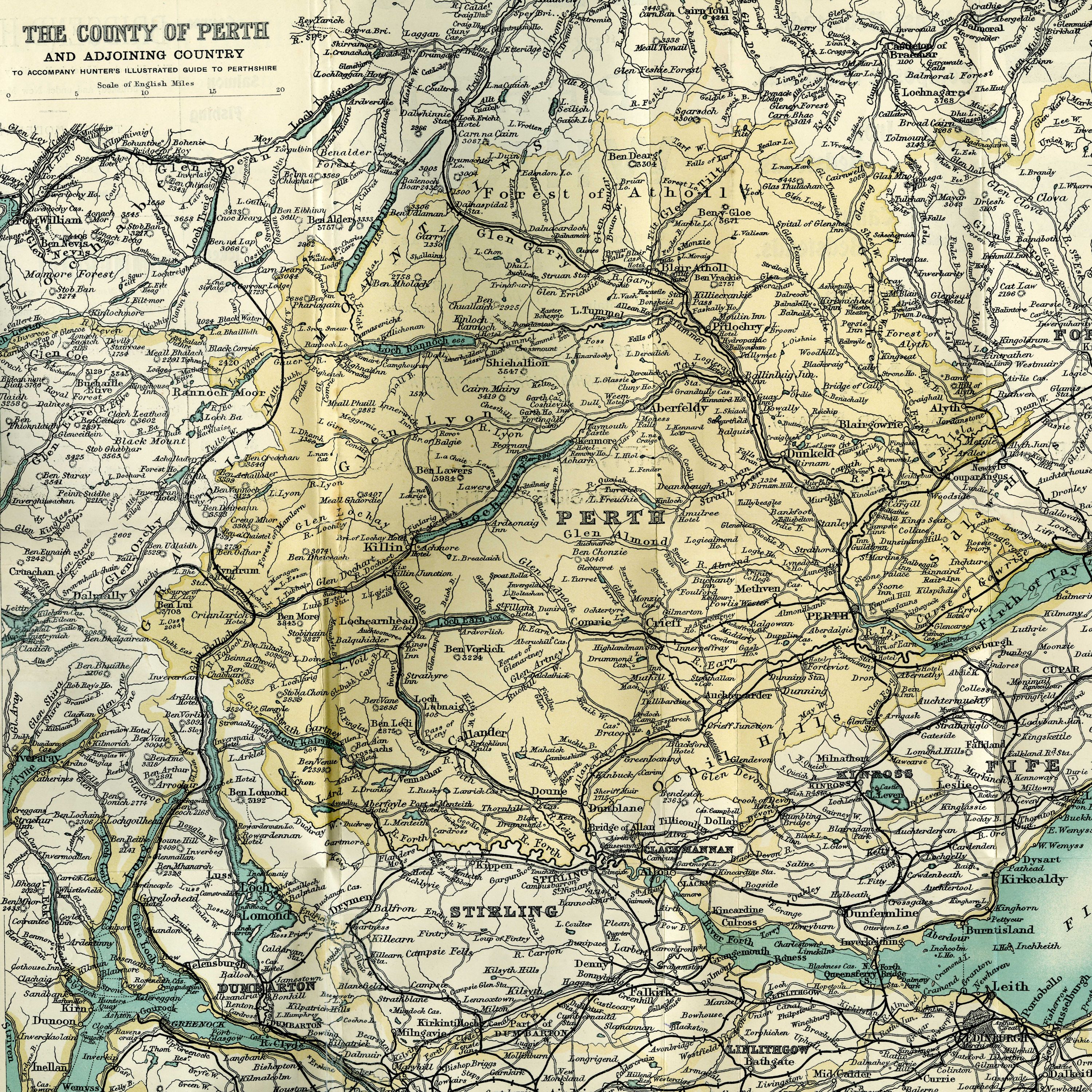
County Maps

We have a range of county plans in our collection. James Stobie’s Map of Perthshire and Clackmannan of 1783 is particularly detailed, and shows individual parish boundaries, farm names, roads etc. As a record of old place names, it is very useful to family historians.

Culture Perth & Kinross - County Maps

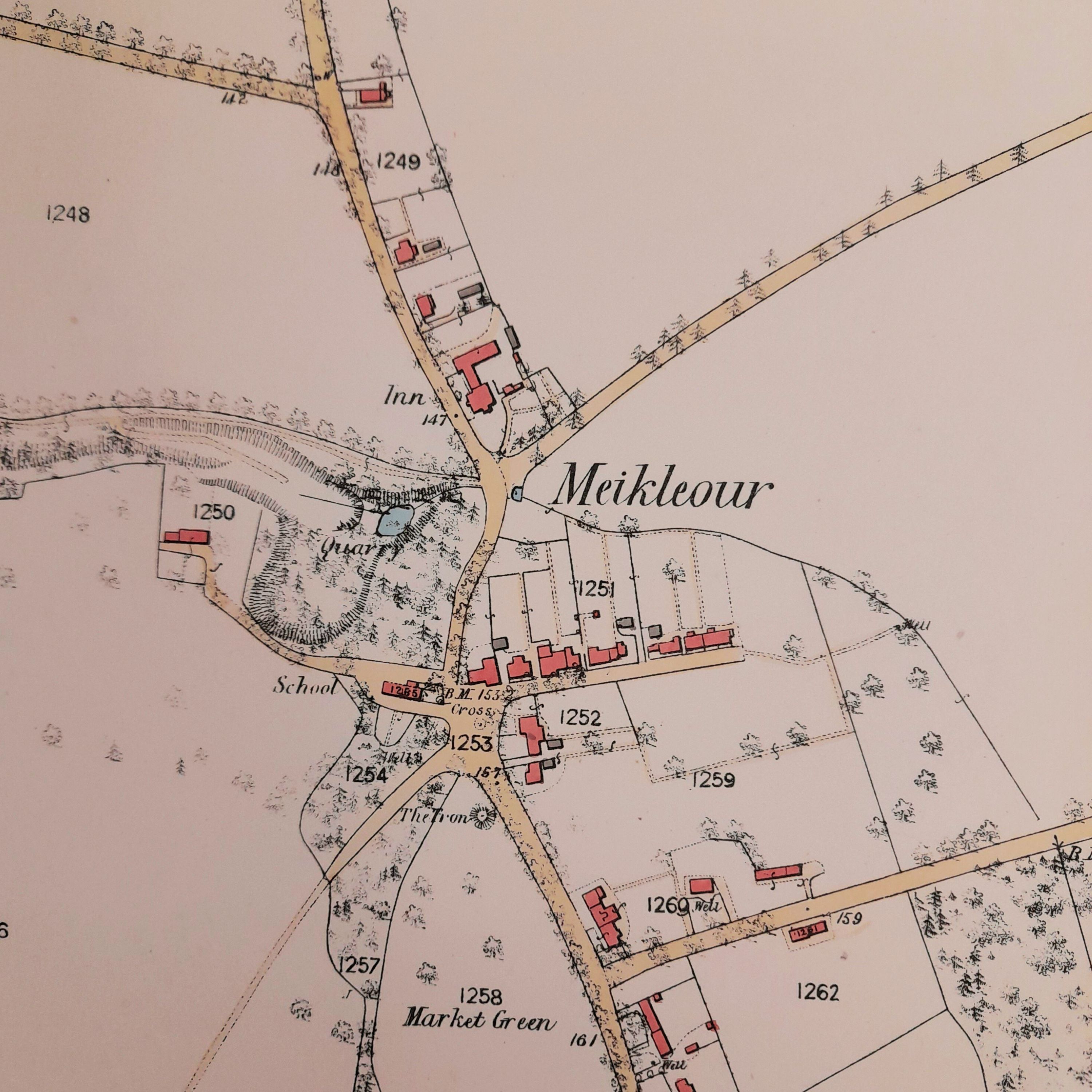
Ordnance Survey and National Grid Maps

We have a huge collection of Ordnance Survey maps, dating from the middle of the nineteenth century. These are sorted by series and come in a variety of scales. All the maps that pre-date 1973 are available to view on the National Library of Scotland’s maps website, and we advise looking at these before planning a visit.

  • NLS Maps Website
Culture Perth & Kinross - Ordnance Survey and National Grid Maps

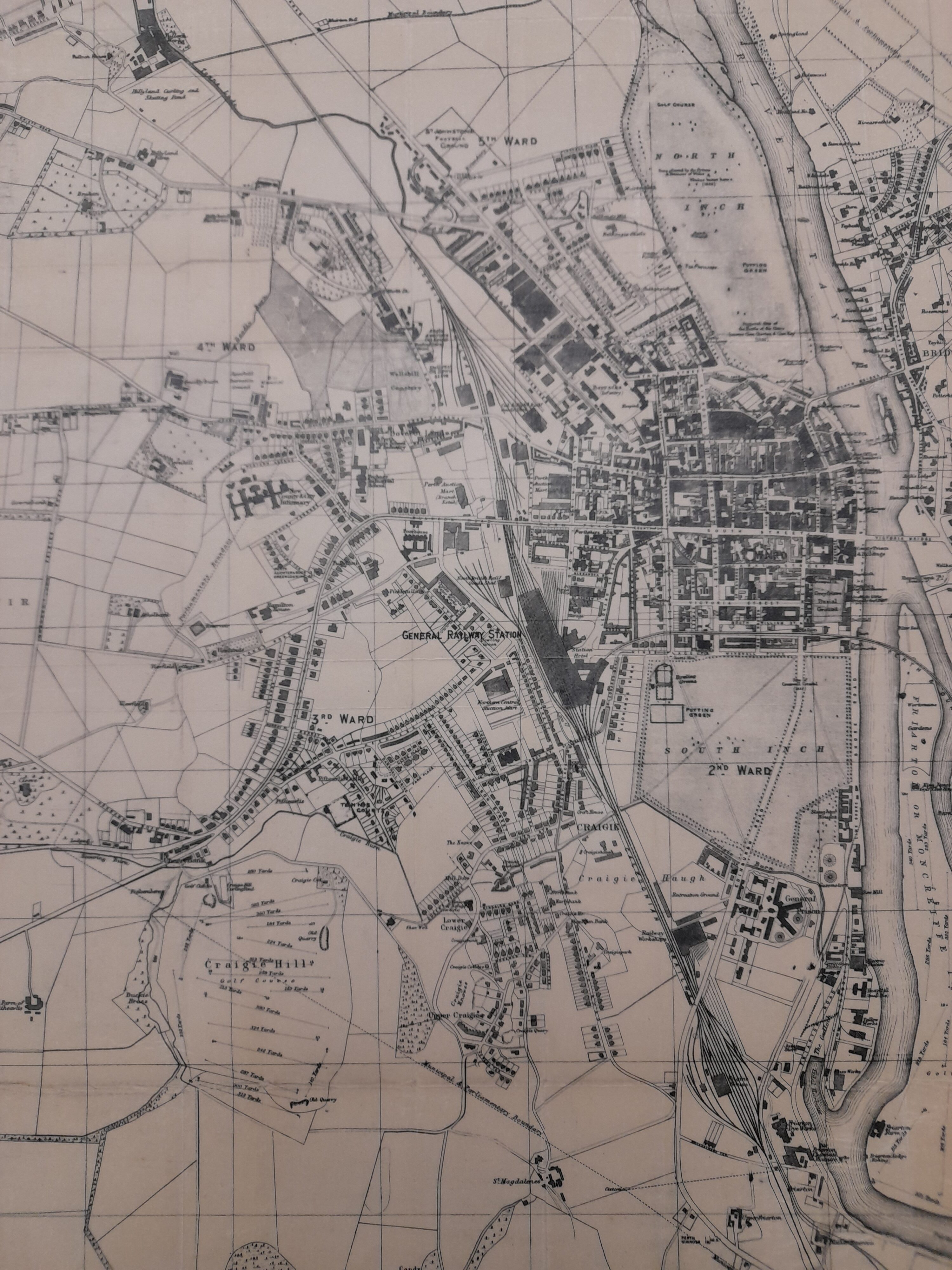
Town Plans (not Ordnance Survey)

Town plans exist for Perth city from 1715 to the present day, though the earliest map of reasonable detail is Archibald Rutherford’s of 1774. Also particularly useful is William MacFarlane’s map of 1792, which extends to the immediate hinterland, Robert Reid’s large-scale map of 1809, and John Wood’s plan of 1823. These are augmented with a good run of Perth Directory maps dating, with gaps, from 1837-1935. Early town plans also exist for Crieff, Dunkeld and Kinross.
Culture Perth & Kinross - Town Plans (not Ordnance Survey)

Other Maps

We hold a range of maps that cover various aspects of Perthshire and Kinross-shire. These include: Political boundary maps 1891-2009, Route maps 1828-1981, Manuscript maps and plans 1715-1792, Geological maps 1986-1996, Perth Flood Prevention Scheme 1995, Soil Survey 1968-1986 and Goad Plans 1969-2008.
  • Local & Family History Service
Culture Perth & Kinross - Other Maps
  • About
  • Customer Charter
  • Careers
  • Contact
  • Freedom of Information
  • Accessibility
  • Privacy Policy
  • Terms of Use
Facebook
  • Archives
  • Libraries
  • Perth Art Gallery
  • Perth Museum
  • Culture Perth and Kinross
  • Perth, City of Craft
Instagram
  • cpklibraries
  • perthartgallery
  • perthmuseumuk
  • perthcityofcraft

Copyright © Culture Perth & Kinross
Recognised as a Nationally Significant Collection


Copyright © Culture Perth & Kinross
Recognised as a Nationally Significant Collection