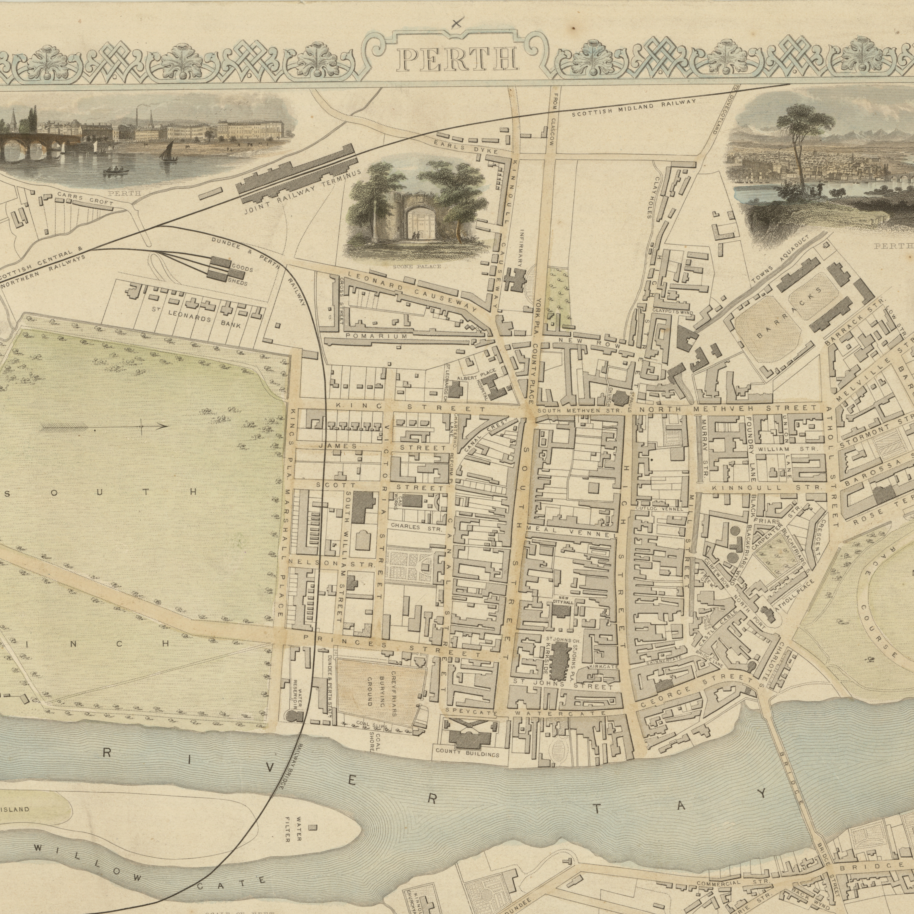
Maps don’t just show us where places are – they show us how people saw the world. Chris Fleet will explore ten maps of Perth, each offering a glimpse into the city and its people over 400 years. From state integration and military conquest to civic improvement and developing communications, he’ll look at why these maps were made, how they reveal changing priorities over time, and how easy it is to explore them on the National Library’s Maps website.
Chris Fleet has worked as Map Curator at the National Library of Scotland since 1994, with a particular focus on digital and map website applications.
This event is free, but prebooking is required.